
Wicklow Way
About Wicklow Way
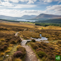
The first waymarked long-distance trail in the Republic of Ireland, running south from Marlay Park in Dublin to Clonegal in County Carlow. It crosses the heather and blanket bog of the Wicklow Mountains, passes St Kevin's monastic settlement at Glendalough and drops into the glacial valley of Glenmalure, then finishes on forest tracks and country lanes through rolling farmland.
Wicklow Way map
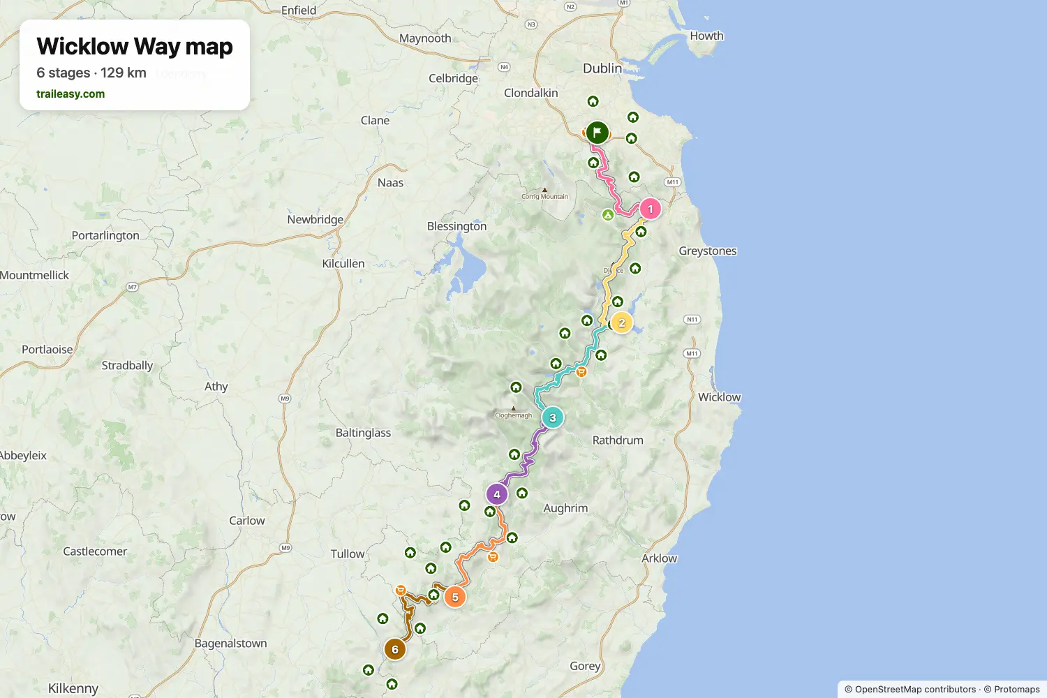
The interactive map shows the whole route, with accommodation, water and public transport along the way.
Wicklow Way route planner
Build a day-by-day itinerary in the route planner, find accommodations along the route, and download the GPX file. Start from an example below or from scratch.
The Wicklow Way in 6 DaysShown below
The six-day walk Paddy of Wild Irish Walks made from Marlay Park in Dublin to Clonegal, rebuilt stage by stage. It leaves the city on the Dublin Mountains, crosses Prince William's Seat to Enniskerry, climbs Djouce for the boardwalk above Lough Tay, drops into Glendalough and Glenmalure, then follows the quieter forest roads and farmland of south Wicklow through Moyne and Shillelagh to the finish at Clonegal.
Wicklow Way stages
6 days, 140 km and 4,430 m of ascent. These stages follow the The Wicklow Way in 6 Days itinerary. Open it in the route planner to split or merge days and choose where you sleep.
- Stage 122.3 km↑ 701 m · ↓ 719 m ·
7–8h with stopsMarlay Park Enniskerry
Night at The Enniskerry Inn - Stage 225.0 km↑ 935 m · ↓ 782 m ·
9h with stopsEnniskerry Roundwood
Night at The Coach House - Stage 327.2 km↑ 943 m · ↓ 1,031 m ·
9–10h with stopsRoundwood Glenmalure
Night at The Glenmalure Lodge - Stage 420.6 km↑ 798 m · ↓ 733 m ·
7–8h with stopsGlenmalure Moyne
Night at Stoney cottage - Stage 523.0 km↑ 547 m · ↓ 681 m ·
7–8h with stopsMoyne Shillelagh
Night at Central House Bar & Accommodation - Stage 622.1 km↑ 506 m · ↓ 515 m ·
7–8h with stopsShillelagh Clonegal
Best time to go
- Best time1 Apr – 30 Jun, 1 Sept – 30 Sept
- Good time1 Mar – 31 Mar, 1 Jul – 31 Aug, 1 Oct – 31 Oct
- Possible, with care1 Nov – 29 Feb
April to June and September are the best months, with the forest tracks dry and the open bog firm underfoot. July and August are warm and the stages near Glendalough fill with day walkers. From November to February the bog sections hold water, the daylight is short, and some accommodation along the way closes for the season.