

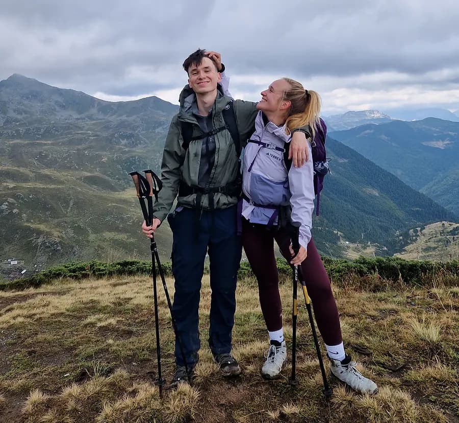
My partner and I on the Peaks of the Balkans
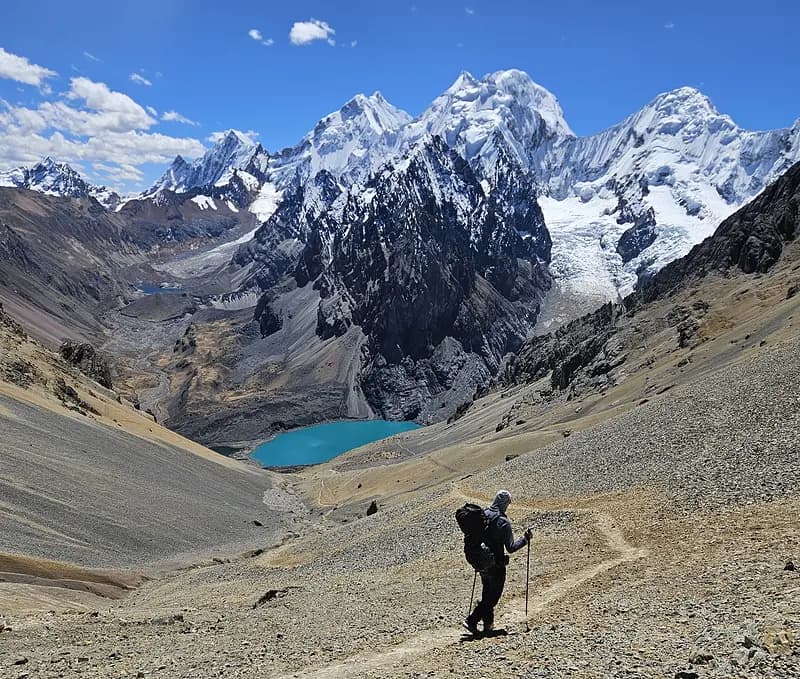
Hiking the Huayhuash Circuit
The story behind Traileasy
I'm Jeroen, a hiker from the Netherlands. Over the last few years I've walked long-distance trails all over the world. After more than fifteen of them across South America in 2025, I realized that planning a multi-day hike is much harder than it should be.
Every hike started the same way: a dozen browser tabs, a spreadsheet of distances, a guidebook, and nowhere that showed me where I could actually spend each night.
So I built Traileasy, an interactive planner that shows the trail, its variants, and the accommodations and transport options along it. You plan each stage on a real topographic map, distance and elevation are calculated as you go, and when you're done the whole plan comes with you onto the trail with the mobile app. Offline, and free.
What it does differently
| What it does differently |  Traileasy | Other appsTypical hiking apps |
|---|---|---|
| Beds on the mapAccommodations on the route map | Built in | Separate sitesSeparate booking sites |
| Offline navigation | Free | SubscriptionBehind a subscription |
| Day-by-day planningDay-by-day itinerary on a topo map | Flexible stagesSplit & reshape stages | Fixed GPXFixed GPX tracks |
| Gear & pack weightGear list & pack weight | Built in | Second appA second app |
| Example itineraries | Copy in one tap | — |
| Plan with friendsPlan together with friends | Shared plansShared itineraries | — |
| Price | 100% free | €30-60+ a year |
Your next multi-day hike, made easy.
Explore many of the world's best multi-day hikes, ready to plan day by day.
100% free · no account needed