
Quilotoa Loop
About Quilotoa Loop
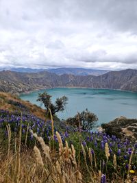
A village-to-village walk through the Kichwa farming highlands of central Ecuador, from Sigchos through Isinliví and Chugchilán to the rim of the Quilotoa crater, high above its lake. The path drops into the canyon of the Río Toachi and climbs out again, with nights in family-run hostels. The loop in the name is the road circuit through the area: the walk ends above the lake rather than circling it.
Quilotoa Loop map
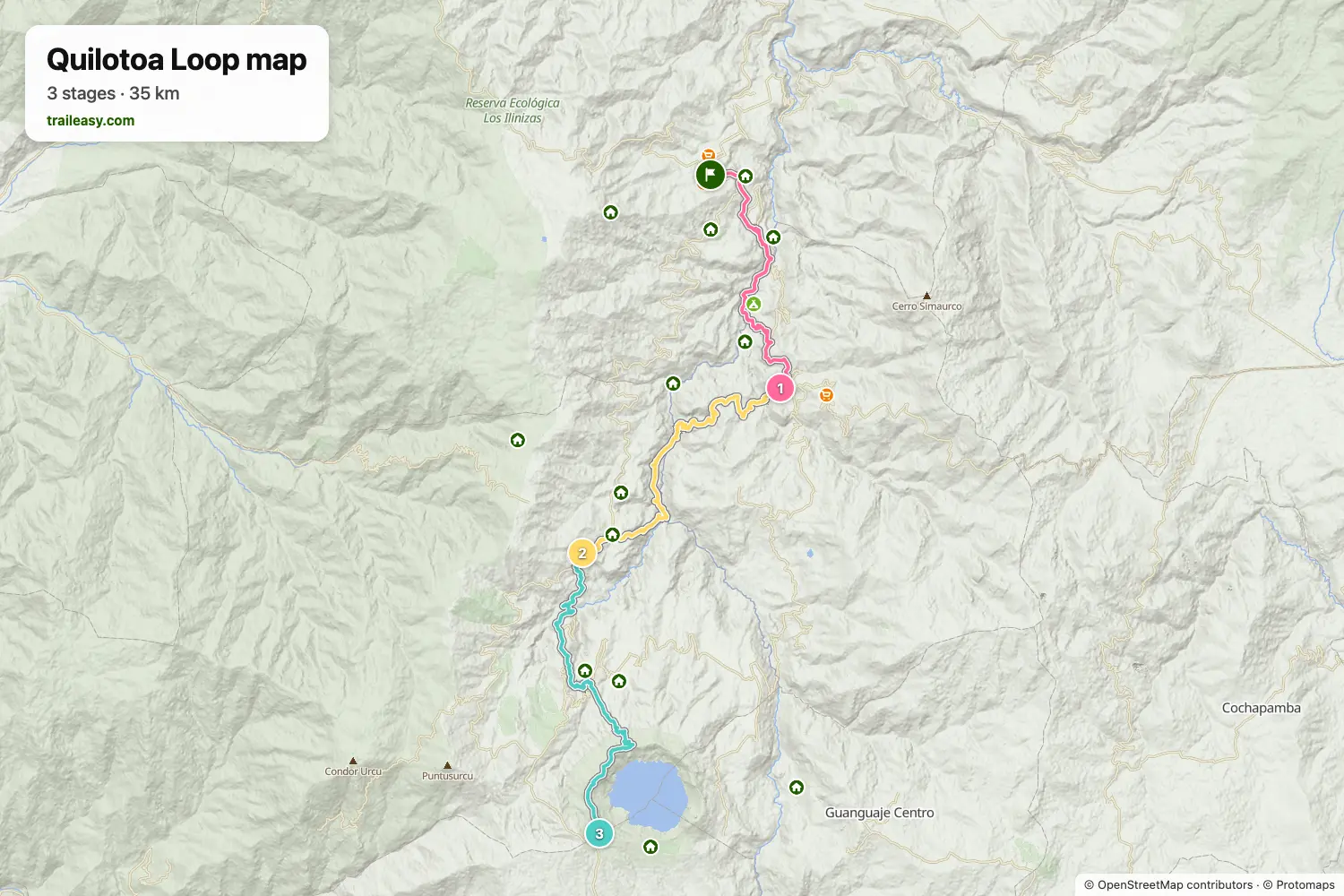
The interactive map shows the whole route, with accommodation, water and public transport along the way.
Quilotoa Loop route planner
Build a day-by-day itinerary in the route planner, find accommodations along the route, and download the GPX file. Start from an example below or from scratch.
3-Day Quilotoa Loop TrekShown below
Traditional 3-day trek from Sigchos to Quilotoa through beautiful Andean landscapes and traditional villages, ending at the spectacular turquoise crater lake.
Quilotoa Loop stages
3 days, 37 km and 2,732 m of ascent. These stages follow the 3-Day Quilotoa Loop Trek itinerary. Open it in the route planner to split or merge days and choose where you sleep.
- Stage 110.6 km↑ 581 m · ↓ 523 m ·
4–5h with stopsSigchos Isinliví
Night at Llullu Llama Mountain Lodge - Stage 213.6 km↑ 993 m · ↓ 735 m ·
6–7h with stopsIsinliví Chugchilán
Night at Hotel Lagoon - Stage 313.1 km↑ 1,158 m · ↓ 485 m ·
8–9h with stopsChugchilán Quilotoa
Best time to go
- Best time1 Jun – 30 Sept, 1 Dec – 31 Jan
- Good time1 Feb – 31 May, 1 Oct – 30 Nov
June to September and December to January are the two dry spells in the Ecuadorian páramo, and both give the clearest mornings over the crater lake. From February to May and again in October and November afternoon rain is normal, turning the crater rim and the steep descents to mud. The village hostels along the way run year round.