
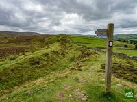
Offa's Dyke Path
About Offa's Dyke Path
A national trail following the ancient earthwork built by King Offa of Mercia in the 8th century, running along the border between England and Wales from Sedbury near Chepstow to Prestatyn on the North Wales coast. The route crosses the Black Mountains, the Shropshire Hills, and the Clwydian Range, offering dramatic views into both countries.
Offa's Dyke Path map
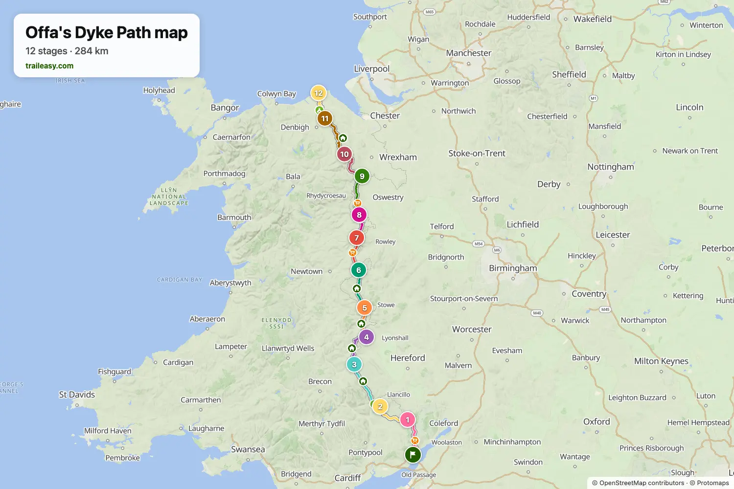
The interactive map shows the whole route, with accommodation, water and public transport along the way.
Offa's Dyke Path route planner
Build a day-by-day itinerary in the route planner, find accommodations along the route, and download the GPX file. Start from an example below or from scratch.
12 Day ItineraryShown below
This itinerary follows Offa's Dyke Path northbound from Chepstow to Prestatyn in twelve days, using classic overnight zones at Monmouth, Hay-on-Wye, Kington, Knighton, Montgomery, and Llanymynech with shorter supporting stops at Pandy, Forden, Chirk, Llandegla, and Bodfari to keep the pace even. It links the Wye Valley and Hatterrall Ridge with the border hills around Knighton, the canal-side approach to Chirk, and the final Clwydian and North Wales descent to the coast, making it a strong end-to-end split for hikers who want a steady daily rhythm without relying on transfers.
Offa's Dyke Path stages
12 days, 292 km and 9,299 m of ascent. These stages follow the 12 Day Itinerary. Open it in the route planner to split or merge days and choose where you sleep.
- Stage 127.5 km↑ 1,070 m · ↓ 1,058 m ·
10–11h with stopsTo Monmouth
Night at The Kings Head - Stage 223.6 km↑ 567 m · ↓ 440 m ·
7–8h with stopsMonmouth Pandy
Night at The Hunters Moon Inn - Stage 330.4 km↑ 842 m · ↓ 902 m ·
10–11h with stopsPandy Hay-on-Wye
Night at Seven Stars - Stage 424.2 km↑ 740 m · ↓ 664 m ·
8–9h with stopsHay-on-Wye Kington
Night at The Swan Hotel - Stage 521.9 km↑ 782 m · ↓ 775 m ·
7–8h with stopsKington Knighton
Night at Horse & Jockey - Stage 625.8 km↑ 1,211 m · ↓ 1,217 m ·
9–10h with stopsKnighton Montgomery
Night at Mellington Hall Country House Hotel - Stage 721.0 km↑ 455 m · ↓ 553 m ·
7–8h with stopsMontgomery Forden
Night at The Green Dragon & Kitchen - Stage 817.9 km↑ 44 m · ↓ 35 m ·
5–6h with stopsForden Llanymynech
Night at The Bradford Arms Hotel - Stage 928.3 km↑ 987 m · ↓ 974 m ·
10–11h with stopsLlanymynech Chirk
Night at Libby's Lodge - Stage 1021.8 km↑ 720 m · ↓ 555 m ·
7–8h with stopsChirk Llandegla
Night at Bellringers Cottage, Llandegla - Stage 1130.0 km↑ 1,251 m · ↓ 1,389 m ·
11–12h with stopsLlandegla Bodfari
Night at Bodfari B&B, Lletty Yr Eos Ucha - Stage 1219.8 km↑ 630 m · ↓ 741 m ·
7–8h with stopsBodfari Prestatyn
Best time to go
- Best time1 Apr – 30 Jun, 1 Sept – 30 Sept
- Good time1 Mar – 31 Mar, 1 Jul – 31 Aug, 1 Oct – 31 Oct
- Possible, with care1 Nov – 29 Feb
April to June and September are the best months along the border, with the Clwydians and the Black Mountains clear and the ground dry. July and August are warm and the beds in Hay and Knighton fill early. From November to February the high sections over the Clwydians and the Hatterrall ridge are boggy and exposed, and the daylight is short.