
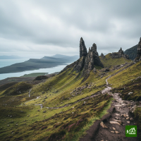
Skye Trail
About Skye Trail
A challenging unofficial long-distance route spanning 128km across the Isle of Skye from Rubha Hunish to Broadford. The trail traverses some of Skye's finest landscapes, passing through the island capital Portree, with no waymarks and many pathless sections requiring strong navigation skills.
Skye Trail map
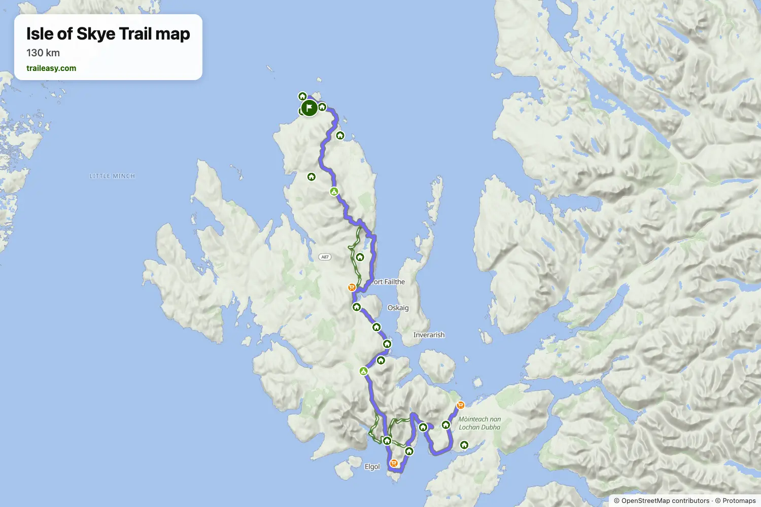
The interactive map shows the whole route, with accommodation, water and public transport along the way.
Skye Trail route planner
Build a day-by-day itinerary in the route planner, find accommodations along the route, and download the GPX file.
Open the Skye Trail route plannerBest time to go
- Best time1 Apr – 31 May, 1 Sept – 30 Sept
- Good time1 Jun – 31 Aug, 1 Oct – 31 Oct
April, May and September are the prime months, with no midges in spring and the biting over by September. Midges are worst from June to August, and October swaps quiet paths for daylight that runs short. From November to March the island's lodgings and buses largely close for the season, storms follow one another, and the long exposed day along the Trotternish ridge no longer fits in the light.