
Haute Route Pyrénéenne
Also known as Pyrenean Haute Route
About Haute Route Pyrénéenne
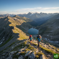
The Haute Route Pyrénéenne runs the length of the Pyrenees from Hendaye to Banyuls-sur-Mer, keeping as high as it can along the frontier ridge. Unlike the GR10, which stays in France and drops to its villages, it crosses between France and Spain again and again and passes through Andorra. Long stretches are unwaymarked and pathless, and nights are spent in refuges, unstaffed huts or a tent.
Haute Route Pyrénéenne map
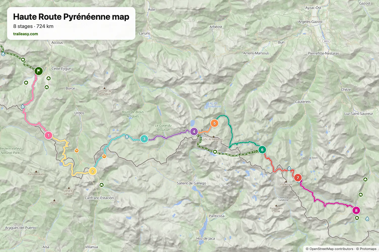
The interactive map shows the whole route, with accommodation, water and public transport along the way.
Haute Route Pyrénéenne route planner
Build a day-by-day itinerary in the route planner, find accommodations along the route, and download the GPX file. Start from an example below or from scratch.
8-Day ItineraryShown below
The high-mountain heart of the Haute Route Pyrénéenne, from the limestone cirque above Lescun in the Vallée d'Aspe to the great wall of the Cirque de Gavarnie. Eight days link the border ridges of the Aspe and Ossau valleys with the granite of the Balaïtous and the glaciers of the Vignemale, crossing repeatedly between France and Spain and sleeping almost every night in a staffed mountain refuge. Along the way it takes in Pic du Midi d'Ossau seen from the Refuge de Pombie, the steep Port du Lavedan, the lake-strewn Cols de Cambalès above the Marcadau, and the Hourquette d'Ossoue beneath the Vignemale glacier before the final descent into Gavarnie.
Haute Route Pyrénéenne stages
8 days, 118 km and 7,941 m of ascent. These stages follow the 8-Day Itinerary. Open it in the route planner to split or merge days and choose where you sleep.
- Stage 118.5 km↑ 1,493 m · ↓ 382 m ·
7–8h with stopsTo Refugio de Arlet
Night at Refuge d'Arlet - Stage 219.0 km↑ 832 m · ↓ 1,278 m ·
7–8h with stopsRefugio de Arlet Candanchú
Night at Candanchu Hotel - Stage 315.2 km↑ 1,320 m · ↓ 841 m ·
6–7h with stopsCandanchú Refuge de Pombie
Night at Refuge Pombie - Stage 411.3 km↑ 1,039 m · ↓ 801 m ·
5–6h with stopsRefuge de Pombie Refuge d'Arrémoulit
Night at Refuge d'Arrémoulit - Stage 54.9 km↑ 372 m · ↓ 583 m ·
2–3h with stopsRefuge d'Arrémoulit Refuge de Larribet
Night at Refuge de Larribet - Stage 618.3 km↑ 1,170 m · ↓ 1,364 m ·
7–8h with stopsRefuge de Larribet Refuge Wallon
Night at Refuge Wallon - Stage 713.8 km↑ 1,458 m · ↓ 673 m ·
6–7h with stopsRefuge Wallon Refuge de Bayssellance
Night at Refuge de Bayssellance - Stage 817.3 km↑ 257 m · ↓ 1,533 m ·
6–7h with stopsRefuge de Bayssellance Gavarnie
Best time to go
- Best time1 Jul – 15 Sept
- Possible, with care16 Jun – 30 Jun, 16 Sept – 30 Sept
July to mid-September is the core of the season, and on a traverse this long it is the only stretch that holds the whole trip. In late June the high cols still carry snow and not every refuge has opened, so an early start commits you to snow through the first weeks. From the middle of September the refuges begin closing and the days shorten on the highest ground.