
Cotswold Way
About Cotswold Way
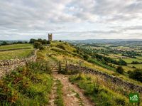
A 164km national trail along the Cotswold escarpment from Chipping Campden to Bath. The route follows the edge of the limestone hills with panoramic views over the Severn Vale, passing through honey-coloured stone villages, ancient beech woodlands, and past Iron Age hill forts.
Cotswold Way map
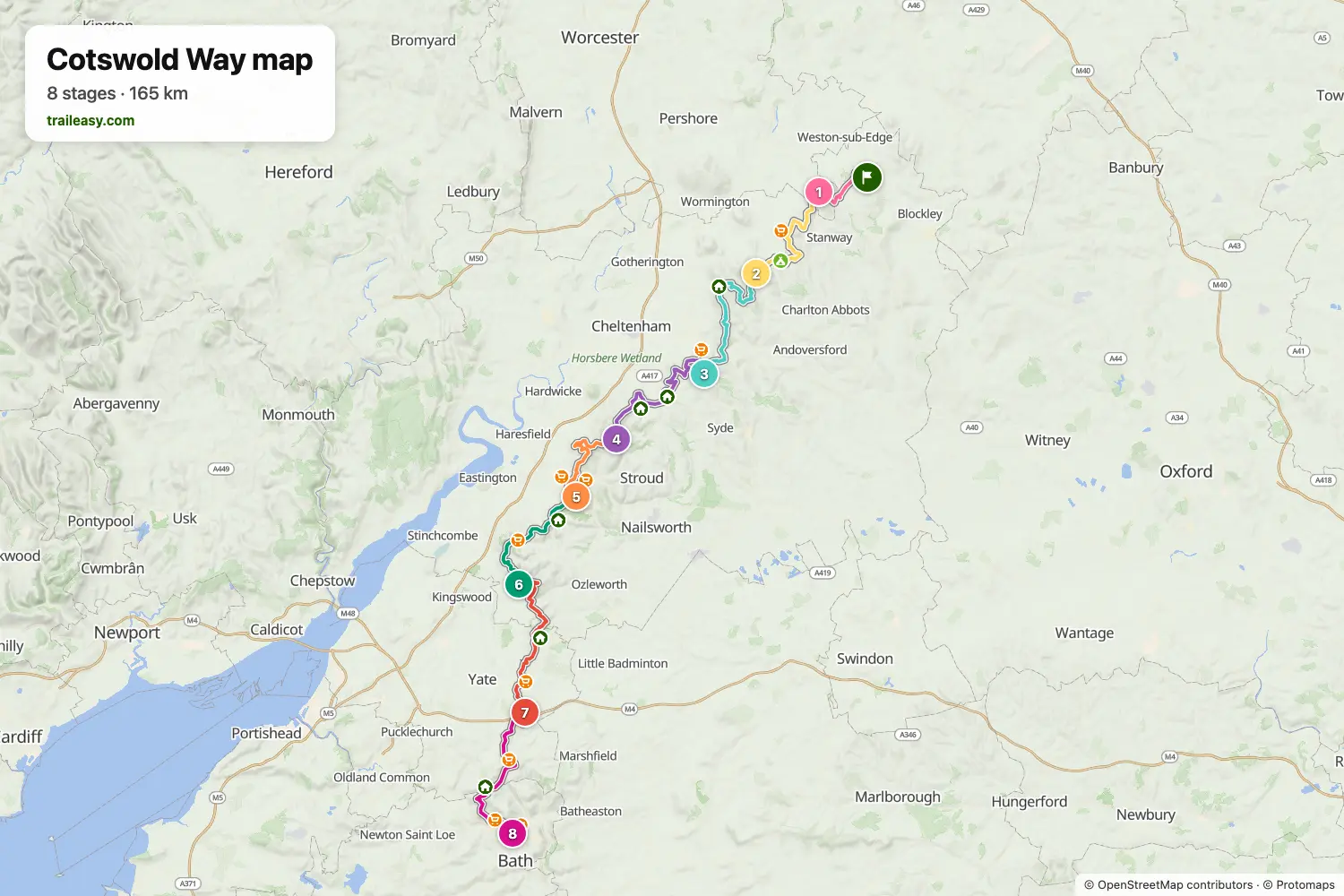
The interactive map shows the whole route, with accommodation, water and public transport along the way.
Cotswold Way route planner
Build a day-by-day itinerary in the route planner, find accommodations along the route, and download the GPX file. Start from an example below or from scratch.
8 Day ItineraryShown below
This itinerary follows the Cotswold Way from Chipping Campden to Bath in eight days. It uses classic overnight zones at Broadway, Winchcombe, Painswick, Tormarton, and Bath, with Seven Springs and Kings Stanley added to keep the middle section more even while still linking the escarpment viewpoints, beech woods, and rolling limestone villages that define the route. The split keeps most days in the 10 to 18 miles range and suits hikers who want a steady end-to-end schedule without relying on transfers.
Cotswold Way stages
8 days, 166 km and 4,381 m of ascent. These stages follow the 8 Day Itinerary. Open it in the route planner to split or merge days and choose where you sleep.
- Stage 19.6 km↑ 201 m · ↓ 253 m ·
3–4h with stopsTo Broadway
Night at The Lygon Arms - Stage 219.5 km↑ 491 m · ↓ 488 m ·
6–7h with stopsBroadway Winchcombe
Night at White Hart Inn - Stage 323.9 km↑ 787 m · ↓ 672 m ·
8–9h with stopsWinchcombe Seven Springs
Night at Seven Springs Cottages - Stage 424.9 km↑ 591 m · ↓ 665 m ·
8–9h with stopsSeven Springs Painswick
Night at Painswick Hotel - Stage 516.4 km↑ 425 m · ↓ 476 m ·
5–6h with stopsPainswick Kings Stanley
Night at Greencourt Loft - Stage 619.2 km↑ 704 m · ↓ 694 m ·
6–7h with stopsKings Stanley Wotton-under-Edge
Night at The Swan Hotel - Stage 724.4 km↑ 619 m · ↓ 528 m ·
8–9h with stopsWotton-under-Edge Tormarton
Night at Best Western The Compass Inn - Stage 828.2 km↑ 563 m · ↓ 716 m ·
9–10h with stopsTormarton Bath
Best time to go
- Best time1 Apr – 30 Jun, 1 Sept – 30 Sept
- Good time1 Mar – 31 Mar, 1 Jul – 31 Aug, 1 Oct – 31 Oct
- Possible, with care1 Nov – 29 Feb
April to June and September are the best months on the escarpment, with firm going and long views. July and August bring heat on the open scarp, where there is little shade between the beech woods. From November to February the clay and the steep scarp paths turn to mud and the daylight is short, though nothing on the route closes.