
Cape Wrath Trail
About Cape Wrath Trail
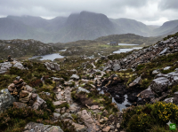
Britain's most challenging and remote long-distance trail, stretching 370km from Fort William to Cape Wrath. This unmarked wilderness route traverses some of Scotland's wildest and most spectacular landscapes, including remote glens, rugged mountains, and pristine lochs.
Cape Wrath Trail map
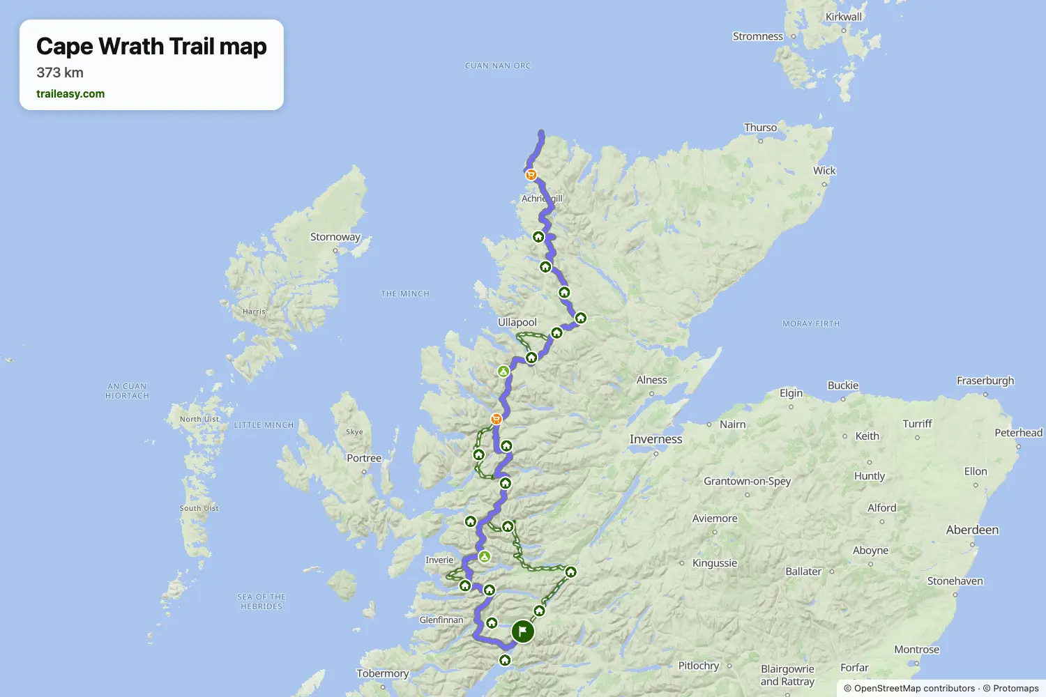
The interactive map shows the whole route, with accommodation, water and public transport along the way.
Cape Wrath Trail route planner
Build a day-by-day itinerary in the route planner, find accommodations along the route, and download the GPX file.
Open the Cape Wrath Trail route plannerBest time to go
- Best time1 May – 31 May, 1 Sept – 30 Sept
- Good time1 Jun – 31 Aug
- Possible, with care1 Apr – 30 Apr, 1 Oct – 31 Oct
May and September are the prime months, after the snow and either side of the midges, which fly from June to August. The ferry over the Kyle of Durness runs from May to September, so finishing in April or October means a rough walk round the head of the Kyle instead. From November to March there is no ferry, daylight barely reaches six hours, and the unbridged rivers run at their highest between shelters that are a long way apart.