
The GR-141, Serranía de Ronda: An Honest 3-Day Trip Report
Hiking the Gran Senda de la Serranía de Ronda through the white villages of Andalucía
In late May 2026 we spent three days hiking the GR-141, the Gran Senda de la Serranía de Ronda, in Andalucía in southern Spain. We originally intended to do the entire loop in five days, camping along the way, but due to a heatwave and some misplanning on our side, things turned out a little different and we only hiked about half of the loop in three days. This post is an honest breakdown of our experience: what we liked and disliked, and the things we'd do differently if we were to hike it again.
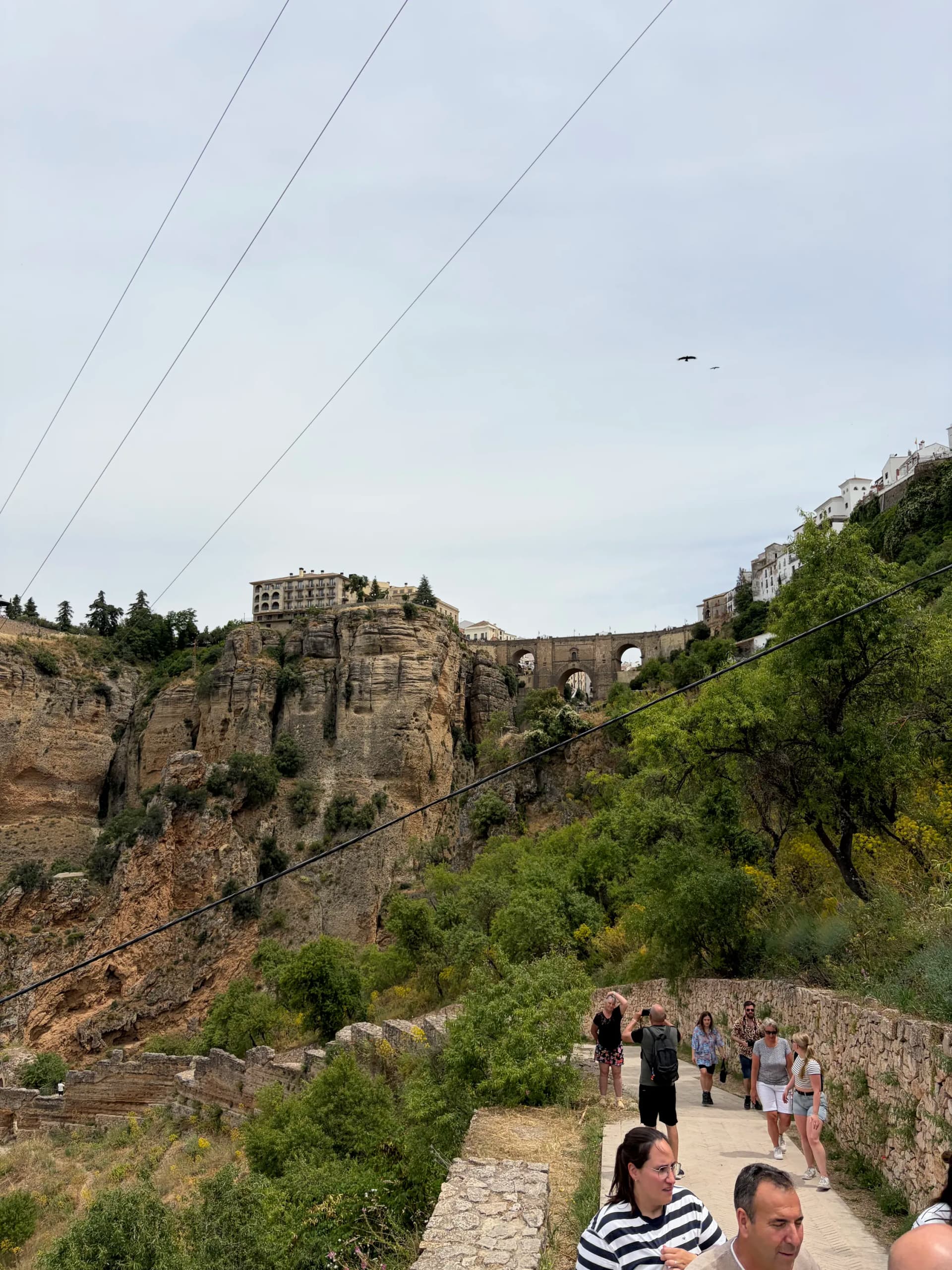
The Puente Nuevo bridge in Ronda, where the GR-141 begins
About the Trail
The GR-141 takes you through the rural backlands of the Serranía (the mountainous area) of Ronda, in Málaga province. It links a string of Andalucian white villages and is usually walked in six stages over five to seven days.
- Distance: ~107 km (full loop)
- Elevation: ~6,500 m of ascent and descent over the full circuit
- Stages: 6 (Ronda → Jimera de Líbar → El Colmenar → Benarrabá → Benalauría → Alpandeire → Ronda)
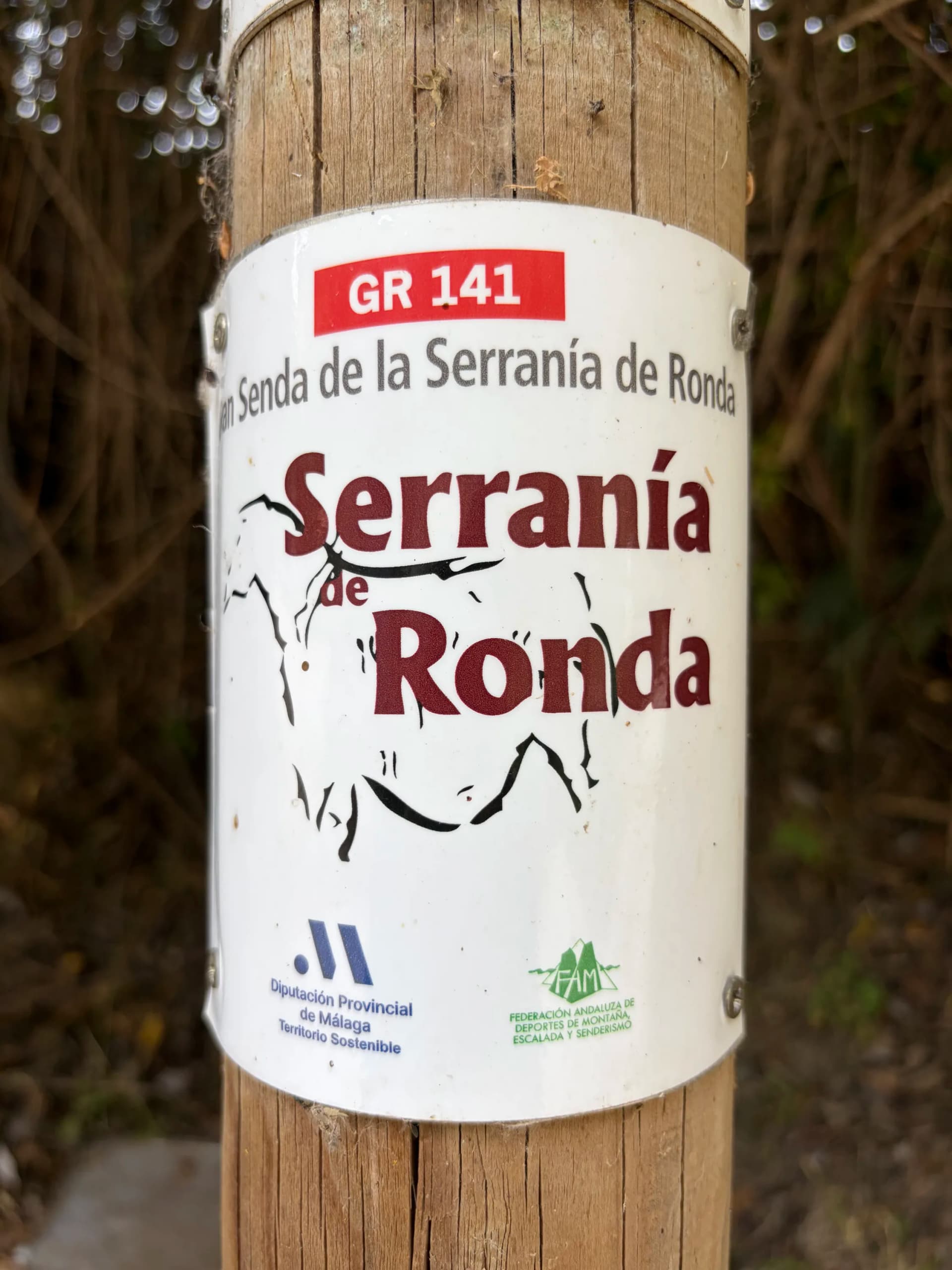
- Waymarking: Red-and-white GR blazes
- Trailhead: Ronda, a few minutes from the iconic Puente Nuevo bridge
One of the great things about the hike is that it starts just a few minutes from the Puente Nuevo, the iconic bridge in the city of Ronda. It's easy to reach from the bigger cities nearby, and we took an early-morning bus from Málaga. We arrived at 11:30, dropped our luggage at the wonderful Hotel Royal (fantastic place, very affordable at €45, free luggage storage and the staff was amazing), had two bocadillos (sandwiches) with sausage and ham at a nearby restaurant, and set off for the trailhead.
Day 1: Ronda to Jimera de Líbar
The first day starts off with a bang. Ronda is famously situated on top of a cliff, and the trail follows stairs down the cliff side, offering great views of the city and bridge throughout the descent. After that you mostly follow dirt roads past small rural settlements until you reach the train tracks, the old Ronda-Algeciras line. These tracks are a guiding line for the next two days, as you either follow them directly or see them in the distance for much of the time. After walking right alongside them for a while, you cross the tracks and follow a small footpath up a hill.
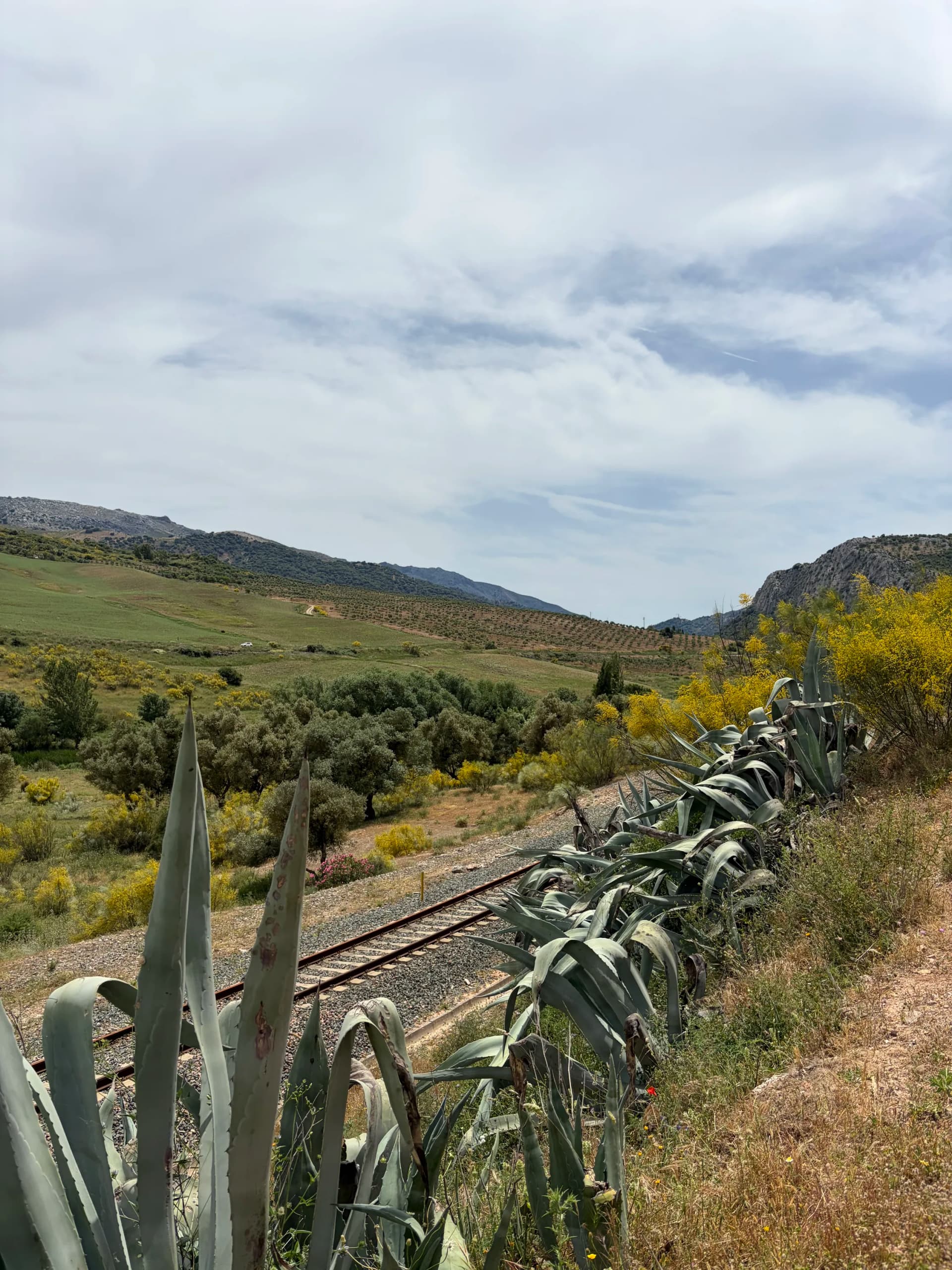
Crossing the old Ronda–Algeciras railway line on day one of the GR-141
This was the first part of the trail that really stood out to me. It was fun walking, flowers were blossoming alongside the path, and you get better and better views of the Andalucian countryside as you make your way up. You follow this for a while until you reach a dirt road and see Benaoján in the distance. You follow the road into the town, where you can find a few bars and restaurants. From the town, the trail descends to the river. This is the first place (after about 18 km of hiking) where you'll find a natural water source that day, with a few spots where you can drop down to the river to filter if needed. The trail then follows the river for the rest of the day until you reach Jimera de Líbar.
Just before heading up into the town, you can cross the river and follow a road for about 20 minutes to Camping Jimera de Líbar. We'd planned to stay here for our first night. To our huge disappointment, we were met with a 'closed' sign on the gate when we finally arrived. We phoned the owner, who answered immediately and told us they were closed, at least on that Sunday. He said we could wild camp by the river if we set up by sundown and got up early, but we didn't see any decent spots, so we decided to hike 40 minutes up into Jimera de Líbar and got a room at Hotel [[CONFIRM name]]. By the time we arrived it was late, so we rehydrated one of our adventure food meals, had a shower and went to bed. Not a great start for our camping plans, but the hotel was very nice and it was great to sleep in a bed and have a shower!
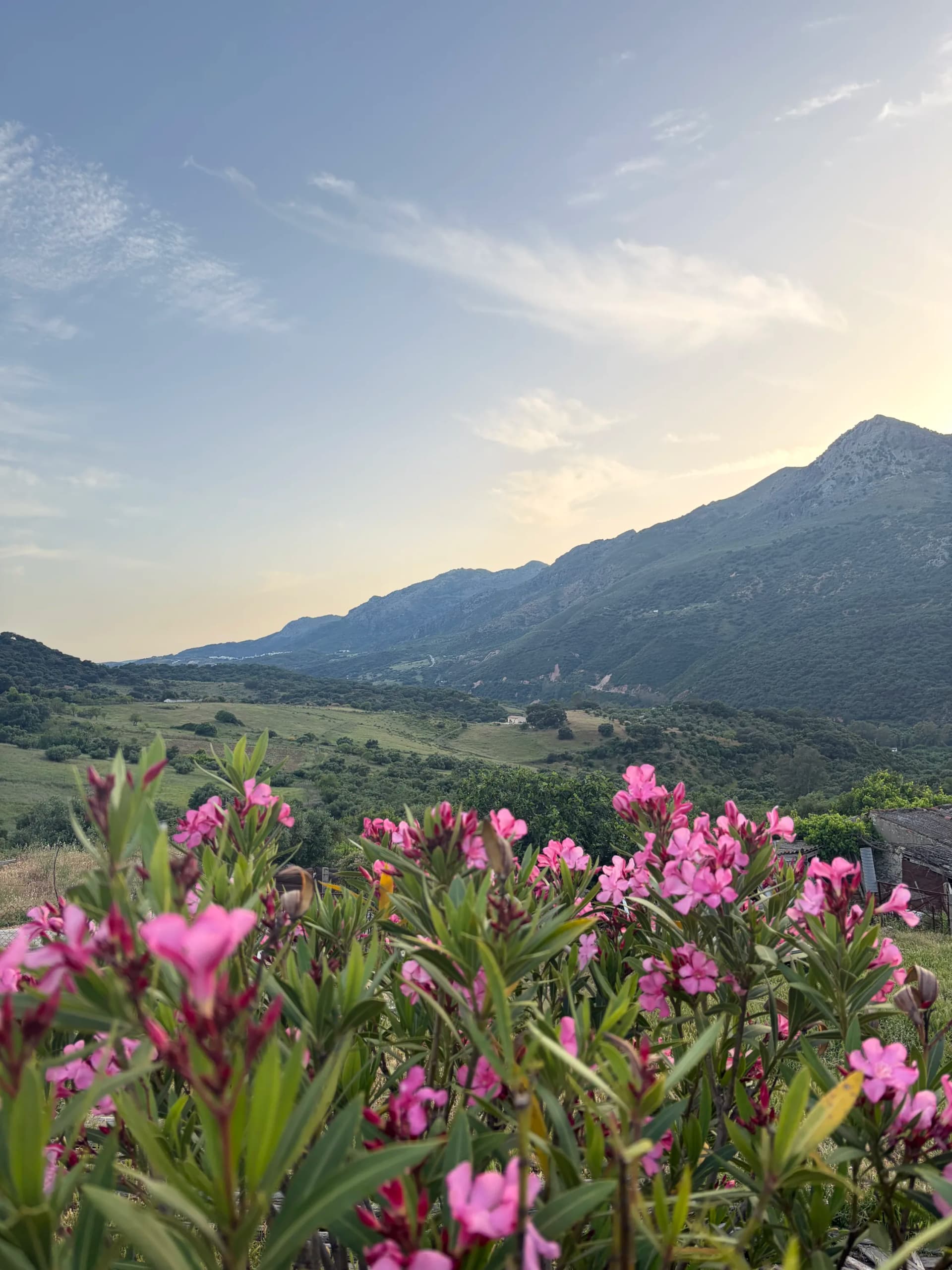
Evening view over the valley from Jimera de Líbar
Day 2: Jimera de Líbar to El Colmenar
We explored Jimera de Líbar a bit in the morning and had breakfast overlooking the valley. The town was beautiful: the white houses, quiet streets and location on the side of a hill made for a pretty picture. Since we'd arrived late on day 1 we had slept in, and by the time we set out it was already past 11:00, with temperatures in the high 20s and a clear blue sky.
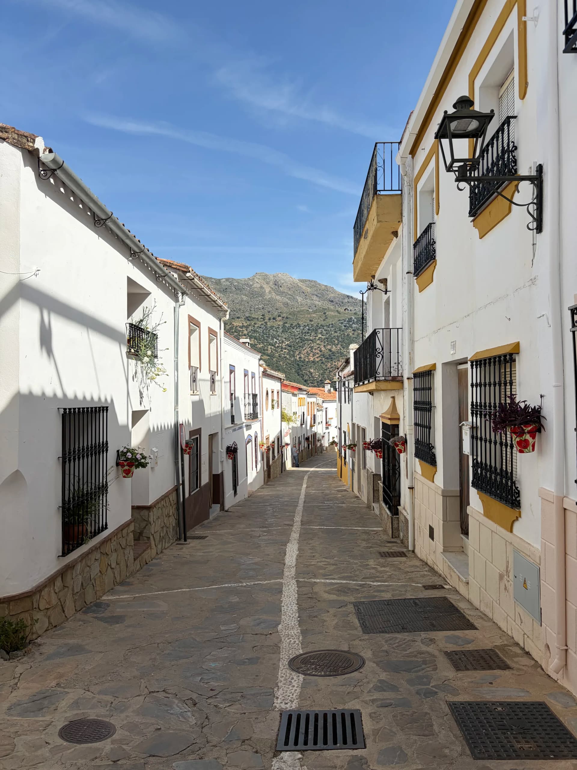
The white village of Jimera de Líbar on the side of a hill
The trail takes you past farm- and cattleland over dirt roads, and after about two hours we encountered a large group of patas negras (black Iberian pigs) on the road, which refused to budge and were quite territorial. Only after repeatedly clapping our trekking poles together did they move a bit and let us pass. The trail today was a mix of single tracks and dirt roads, but all of it felt very remote. You again see the deserted train track for large sections, and the river is often in sight (but unreachable). After about 5-6 hours we finished the final dirt road near an abandoned house and found ourselves on a steep descent, with some large steps and cables, down to the gorge. Here you cross the Puente de los Alemanes, originally built in 1918 to carry water across the gorge and now used as a footbridge, and go through a tunnel to start the final climb to the top of the Cañón de las Buitreras, a protected Natural Monument since 2003. This was a surprisingly steep climb, made tougher by the sun beating down on us.
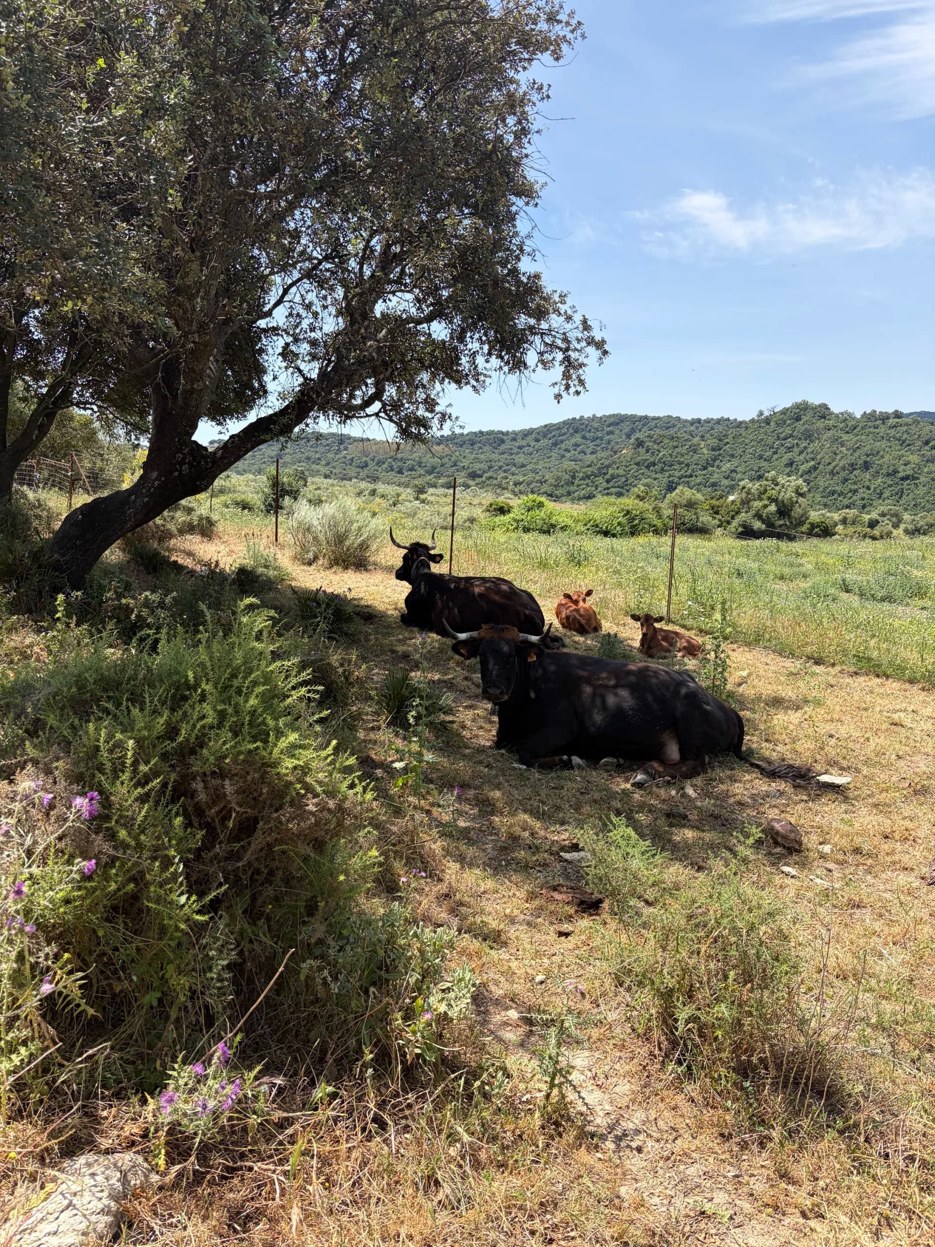
Cattle sheltering in the shade along the trail on private farm lands
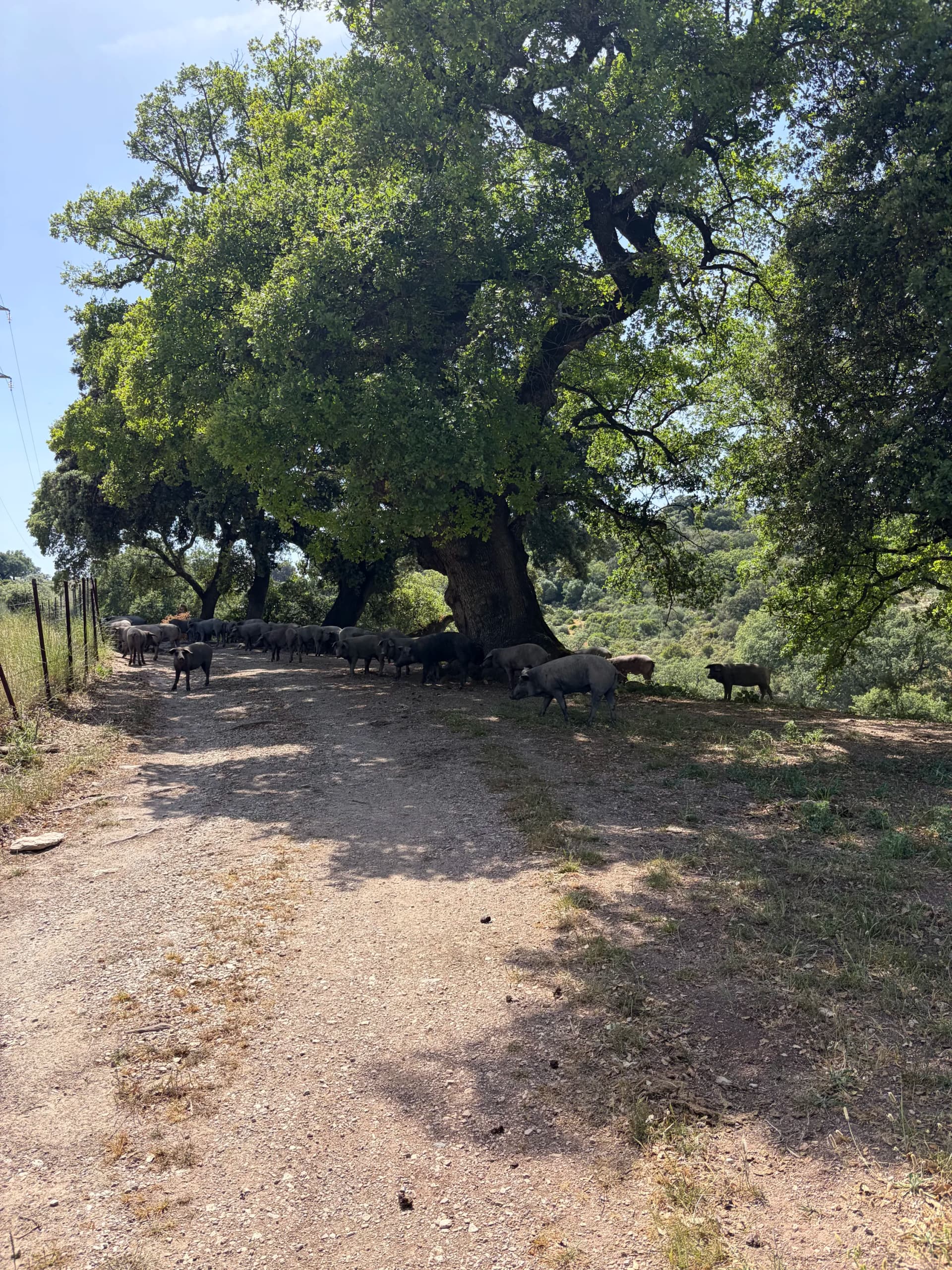
A group of patas negras (black Iberian pigs) blocking the road
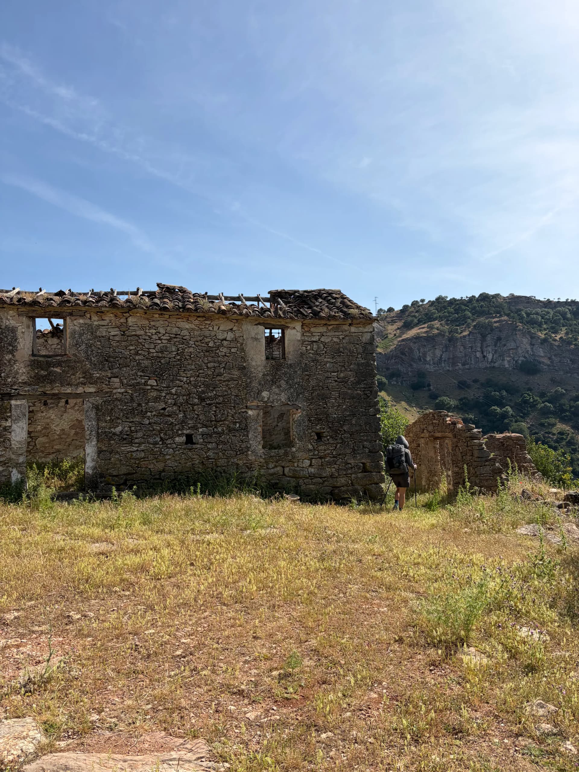
An abandoned house near the steep descent into the Cañón de las Buitreras
About half an hour later we reached the top and were immediately taken by the place. The canyon is home to a large population of Eurasian griffon vultures that constantly soared around us, and rhododendrons were in full pink blossom throughout. They're left over from the subtropical forests that covered this region millions of years ago, and now grow only in damp, shady gorges like this one. The canyon was filled with the sound of the river roaring below us. The descent reminded me of why I love to hike so much: after a long and very hot day you can arrive somewhere so beautiful at what feels like just the right time and feel a sense of peace. After about 15 minutes we arrived at a viewing platform where you can take your time watching the vultures. The trail then descends to the canyon floor and eventually leaves the canyon, taking you to a paved road that leads to El Colmenar (also called Estación de Gaucín). From here it's about 15 minutes to the town center.
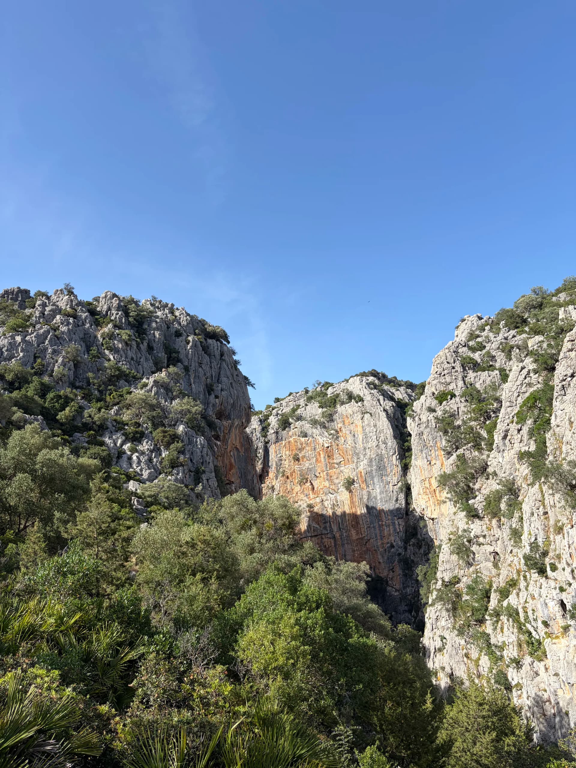
The Cañón de las Buitreras, a protected Natural Monument on the GR-141
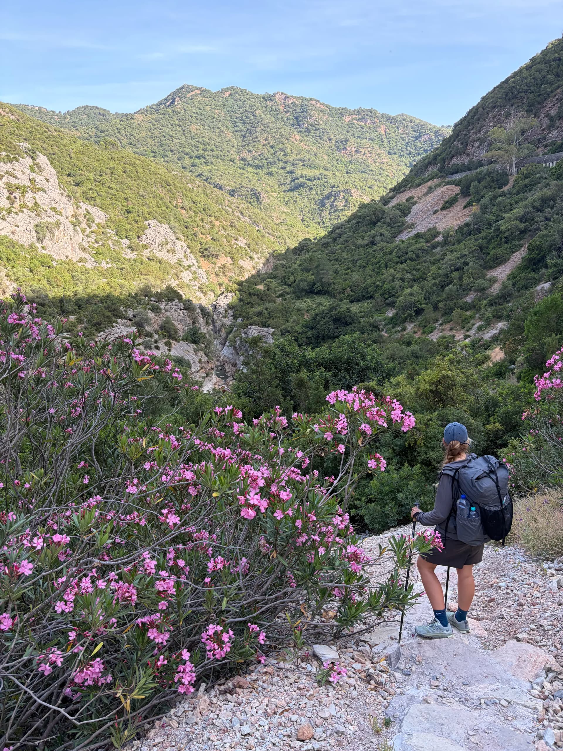
Wild rhododendrons in full pink blossom in the Cañón de las Buitreras
It was about 19:30 when we arrived, and one of the small grocery stores (autoservicios) was still open. We bought some cola and an ice cream and had it on a bench in the town's central square. After that we made our way to the Hotel de las Buitreras, a rustic hotel (€63). We had hiked for almost 8 hours in full sun and were completely drained. We had set off way too late and hadn't brought enough water. We'd read that today's section followed a river for the second part and that we could get water, but this wasn't the case, as there was a very steep drop separating the river and the trail.
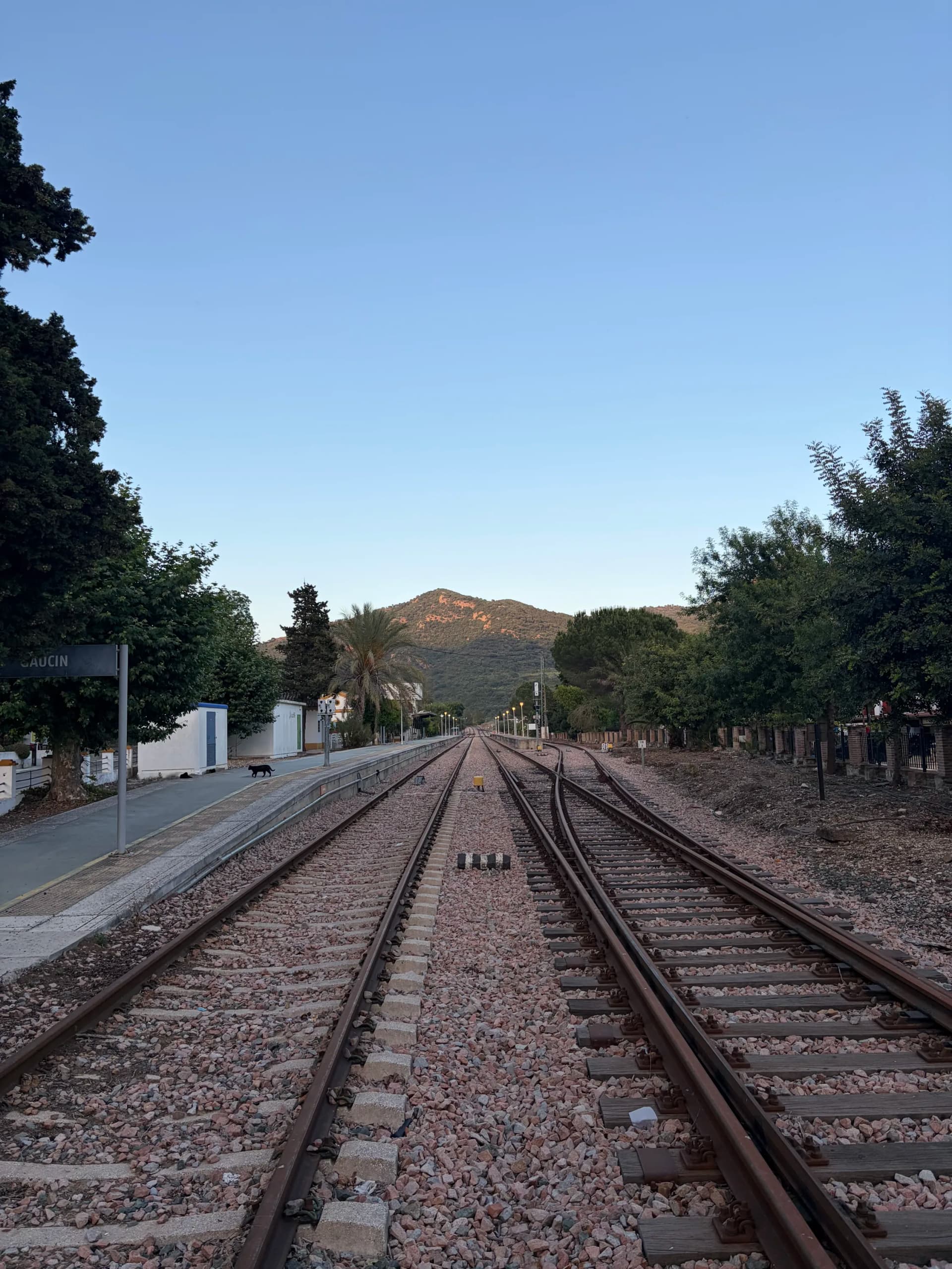
El Colmenar, also known as Estación de Gaucín, at the end of day two
We had a rough night and didn't feel well in the morning, so we decided to stay an extra day and relax by the hotel's swimming pool. We were the only guests and most of the town felt quite abandoned. This surely had to do with the train service disruption: the hotel worker told us that parts of the train tracks connecting the tiny villages in this part of Andalucía had been washed away by the extreme rains of February 2026. The restoration works would take until late 2027 at the least, cutting off all public transport from El Colmenar, since there are no buses leaving the town either.
Day 3: El Colmenar to Gaucín
After you cross the bridge leaving El Colmenar, you start a steady climb through wild private land that's poorly marked. Most of the day is uphill, in total about 800 m of climbing without any descents in between. Slowly the wild grasslands transform into cork-oak forest, part of the Parque Natural de los Alcornocales, and you're treated to wide views of the Andalucian hills. You pass some rural estates before the final climb up, and once you reach the highest point of the day it's only a short descent to the town of Gaucín.
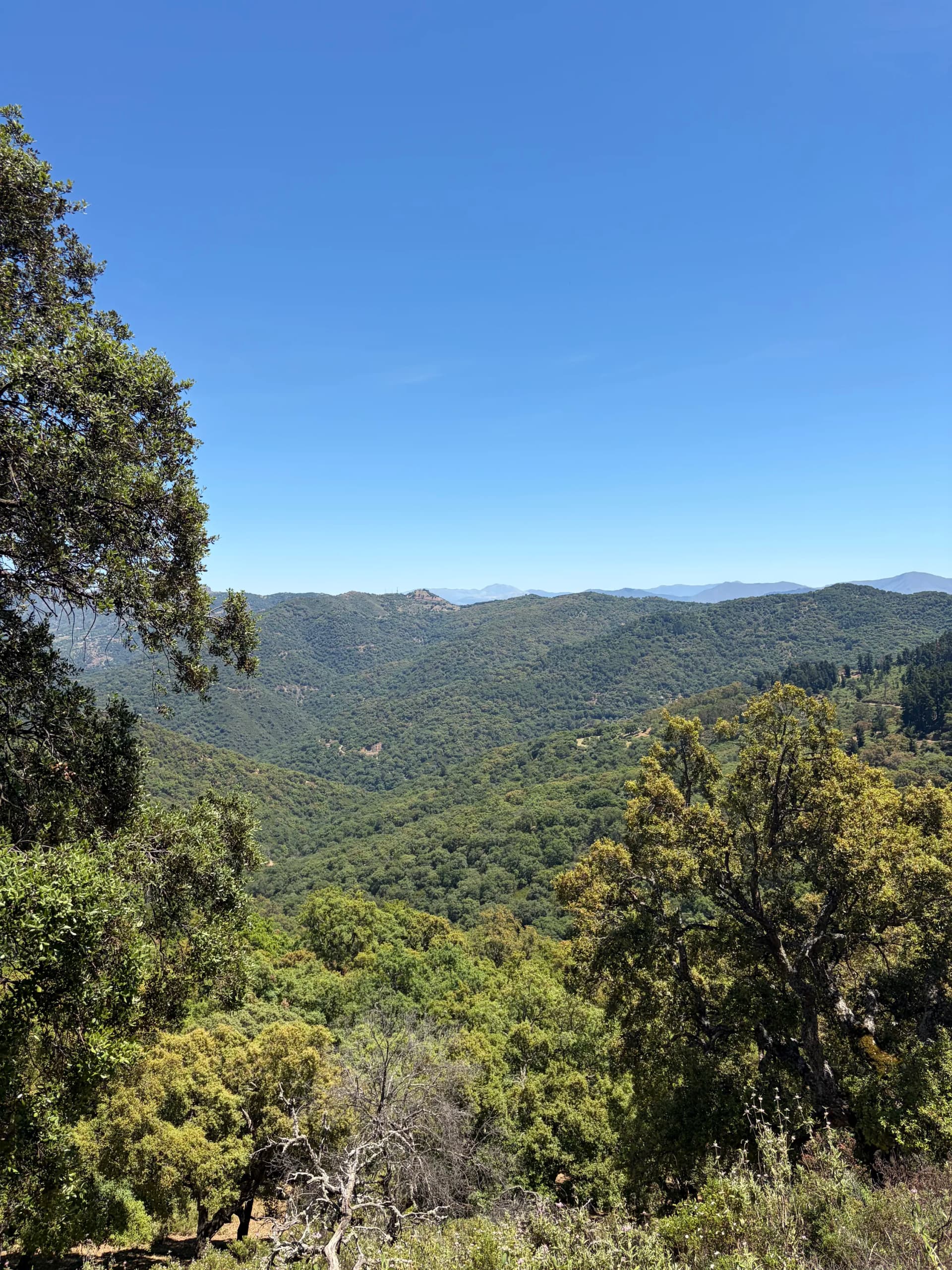
Cork-oak forest and wide views over the Andalucian hills on day three
Compared to Jimera de Líbar and El Colmenar, Gaucín is much larger. It still feels intimate, but there are more restaurant options and it attracts many more tourists. It also has some of the best views of any town I have ever visited: from one of the central streets you can see Gibraltar, with the Mediterranean and the Atlantic on each side and Morocco behind it. There's a bus line connecting Gaucín with Ronda; it only runs once daily, early in the morning, with a stop in front of the gas station. We arrived in Gaucín in the early afternoon, explored the town, had some tapas followed by a great dinner, and took the 07:15 bus to Ronda the next morning.
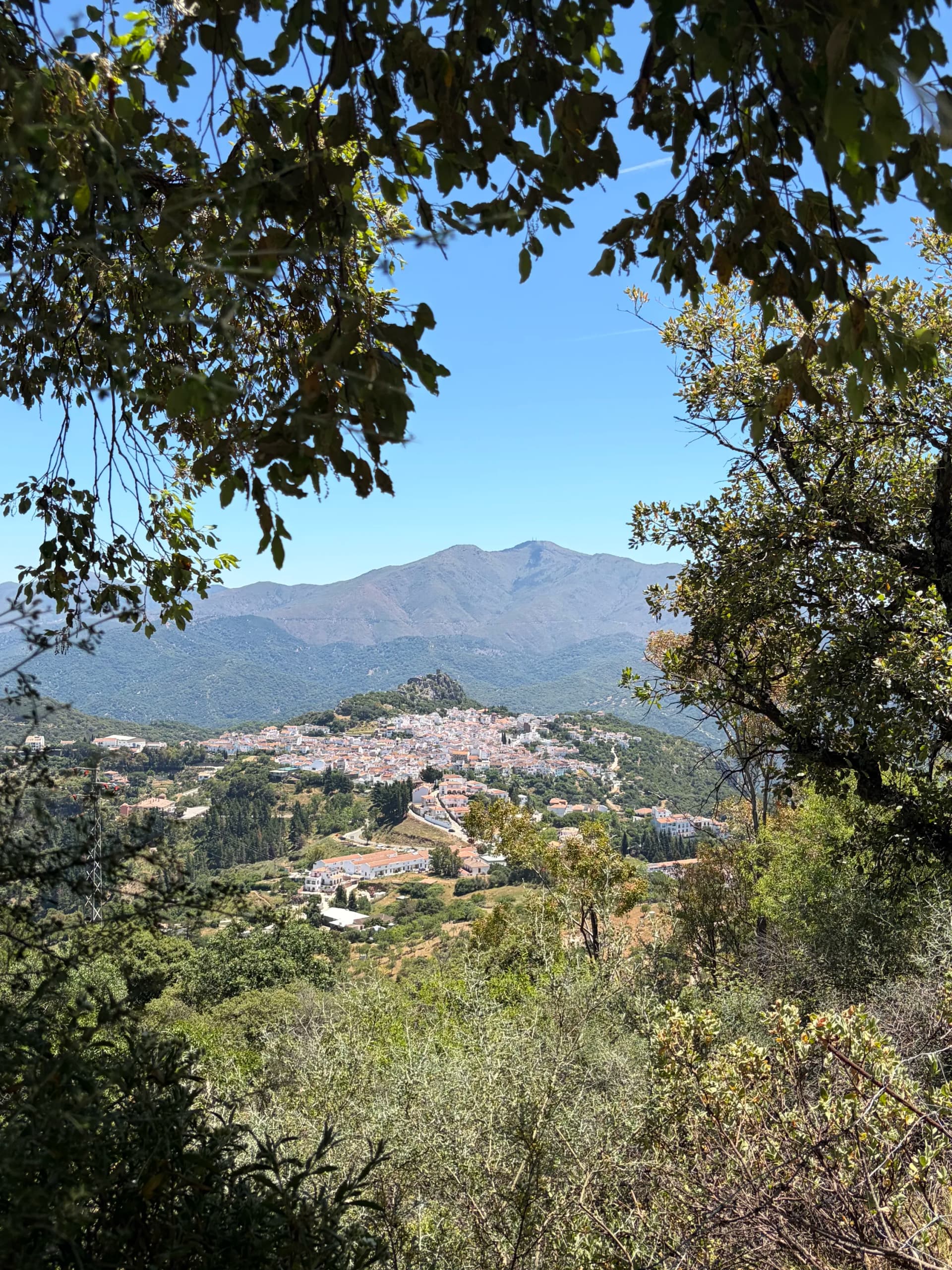
The town of Gaucín, with views toward Gibraltar and the sea beyond
Some Thoughts on the GR-141
Private land
Many sections of the trail pass through private land, and you often have to cross gates to enter and leave them. It's wonderful that so many landowners have taken part in establishing this trail, and their land is often beautiful and quite wild. However, the locking mechanism on the entry gates leaves a lot of room for improvement: often, steel wire is tightly looped around the top of the gate and takes quite some force to open and close.
Waymarking
It's a waymarked trail with red-and-white striped marks, most often painted on rocks or trees. The trail maintainers have marked both the correct path AND the wrong turns (with an X) in many places, which helped a lot. In some places, though, markings were infrequent and counter-intuitive, especially on some of the private land. In general they're not enough to rely on alone, and the trek should be paired with GPS navigation. (TODO: REFERENCE TO TRAILEASY PLANNER WITH EXPORT CAPABILITIES AND MOBILE APP FOR NAVIGATION)
A red-and-white GR waymark painted on rock along the GR-141
Time of year
We hiked the GR-141 in the last week of May 2026 and it was too hot already. This was partly due to a heatwave hitting Spain, but even without it I'd recommend hiking earlier in the season. On each day, temperatures were well above 30 °C without clouds or wind to bring relief. Flowers were still in blossom though, which was very nice. I'm not sure whether more water is available along the trail if you hike earlier in the season.
Camping
If we were to walk the GR-141 again, we wouldn't bring camping gear: it's just not the trail for it. There are only two spots along the circuit with actual campsites (one of which was closed the day we arrived). Wild camping is mostly prohibited in Spain, and while we did see a few spots you could set your tent up, these were either undocumented and not close to water, or close to bridges and roads with frequent traffic. A second reason not to camp is that the towns you pass through are a big part of this trail's appeal. They're beautifully situated among the hills, consist almost entirely of charming white houses, and have great places to eat. The hotels offer great value for money and were very quiet. Jimera de Líbar is beautifully set on the side of a mountainous hill, and from Gaucín you can see a sea, an ocean and two continents at once.
Conclusion
The Serranía de Ronda surprised us. We'd pictured the dry, dusty Andalucía of postcards, but the region was far greener than we'd imagined, with flowers blossoming along the trail and different types of forest. The white villages were a real highlight: quiet, characterful, and full of good places to eat. It was very hot, and it's not a trail we'd consider camping again. But even having walked only half of it, we came away happy we went, and see ourselves coming back to finish the loop, earlier in the year next time.