
GR10
Informazioni su GR10
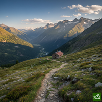
Il GR10 attraversa i Pirenei da Hendaye, sull'Atlantico, a Banyuls-sur-Mer, sul Mediterraneo, segnalato da un capo all'altro e tutto in territorio francese, toccando le colline basche, Gavarnie, l'Ariège e il massiccio del Canigou. Invece di tenersi sulla cresta passa da una valle all'altra valicando i colli, per cui spesso si dorme in paese, nei gîtes d'étape.
GR10: la mappa
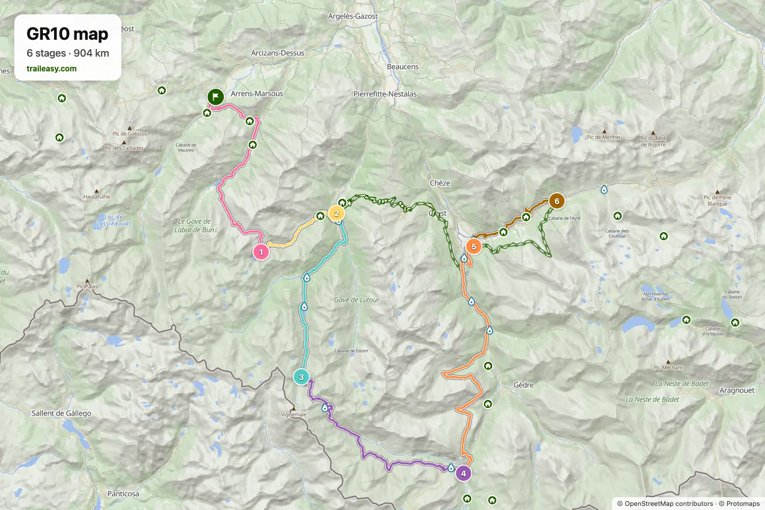
La mappa interattiva mostra tutto il percorso, con alloggi, punti acqua e trasporti pubblici lungo il cammino.
Pianificatore di percorso: GR10
Crea un itinerario giorno per giorno nel pianificatore, trova alloggi lungo il percorso e scarica il file GPX. Parti da un esempio qui sotto o da zero.
6-Day ItineraryMostrato sotto
The GR10 crosses the Pyrenees from the Atlantic to the Mediterranean, far more than most walkers take on in one trip. This six-day walk covers its highest and most celebrated stretch, in the heart of the Parc National des Pyrenees. From Arrens-Marsous in the Val d'Azun the trail climbs past the Lac d'Ilheou to the spa town of Cauterets, then follows the finest section of the whole route: Pont d'Espagne and the Lac de Gaube to the refuge under the north face of the Vignemale, over the Hourquette d'Ossoue past the highest staffed refuge in the Pyrenees, and down the Ossoue valley to the UNESCO-listed Cirque de Gavarnie. It finishes over the Saugue plateau to Luz-Saint-Sauveur and up to Bareges beneath the Col du Tourmalet. Mountain refuges and village gites throughout, with bus links to Lourdes at both ends.
GR10: le tappe
6 giorni, 99 km e 5961 m di dislivello positivo. Queste tappe seguono l'itinerario «6-Day Itinerary». Aprilo nel pianificatore per dividere o unire le giornate e scegliere dove dormire.
- Tappa 119,0 km↑ 1682 m · ↓ 566 m ·
8-9h con sosteArrens-Marsous Refuge d'Ilhéou
Notte a Refuge d'Ilheou - Tappa 28,0 km↑ 10 m · ↓ 1063 m ·
3-4h con sosteRefuge d'Ilhéou Cauterets
Notte a Hôtel le Lion d'Or - Tappa 315,7 km↑ 1444 m · ↓ 221 m ·
6-7h con sosteCauterets Refuge des Oulettes de Gaube
Notte a Refuge des Oulettes de Gaube - Tappa 421,1 km↑ 854 m · ↓ 1650 m ·
8-9h con sosteRefuge des Oulettes de Gaube Gavarnie
Notte a Gîte Le Gypaète - Tappa 526,2 km↑ 1170 m · ↓ 1801 m ·
10-11h con sosteGavarnie Luz-Saint-Sauveur
Notte a Les Cascades - Tappa 69,2 km↑ 801 m · ↓ 308 m ·
4-5h con sosteLuz-Saint-Sauveur Barèges
Quando andare
- Periodo migliore1 lug – 15 set
- Buon periodo16 giu – 30 giu
- Possibile, con attenzione16 set – 30 set
Da luglio a metà settembre è il periodo affidabile, con i rifugi e i gîtes di paese in funzione su tutta la traversata. Sui valichi centrali la neve resta fino ai primi di luglio, per cui partire a fine giugno significa incontrare neve vecchia sui passaggi più alti. Da metà settembre i rifugi iniziano a chiudere e i gîtes si diradano nei paesi più piccoli.